 Steve Dai and I climbed Mount Conness on September 25th, 1999, one day after the traditional Chinese
Autumn Moon Festival. Mount Conness rises to 12,590 feet (3837 meters) above sea level on the northeast
border of Yosemite National Park. It is the highest peak in Sierra Nevada mountains north of Tioga Pass Road (CA
Hwy 120), a spectacular mountain featuring an extensive glacier and vertical cirque walls of granite rising thousands
of feet.
Steve Dai and I climbed Mount Conness on September 25th, 1999, one day after the traditional Chinese
Autumn Moon Festival. Mount Conness rises to 12,590 feet (3837 meters) above sea level on the northeast
border of Yosemite National Park. It is the highest peak in Sierra Nevada mountains north of Tioga Pass Road (CA
Hwy 120), a spectacular mountain featuring an extensive glacier and vertical cirque walls of granite rising thousands
of feet.
We plan to climb Mt. Conness on a day hike. Prior to this day I made two unsuccessful attempts in September
1998 and August 1999. In the 1998 trip with Devesh Khatu we attempted to climb up to the saddle between Mt. Conness
and White Mountain to the south, but had to retreat in front of a steep snow couloir. In the August 1999 trip with
Darrin Chambers we made it to the top of east ridge but could not figure out a feasible way up to the summit plateau.
Two climbers descending the route at that moment gave us the clue that it was an easy class 3 use trail. This time
I decided to climb the same route again then attack the summit plateau according to the clue.
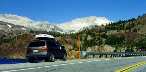
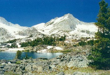
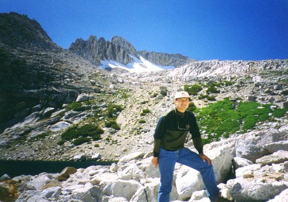
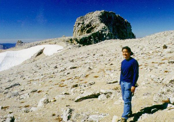
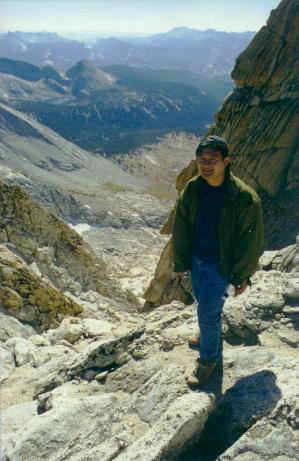
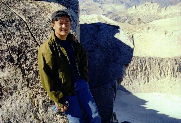
The route starts from the resort at Saddlebag Lake (10060'), just outside Yosemite National Park's east entrance.
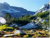
We first hiked down through dense forest to Carnegie Institute, a rustic barn-like building surrounded by beautiful
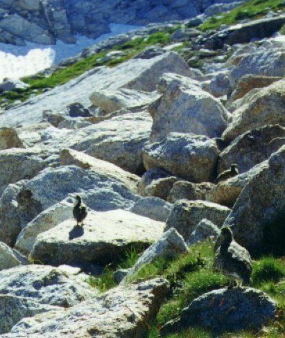
meadows. There was a use trail but it frequently disappeared. Then we scrambled to the north shore of boulder-fringed
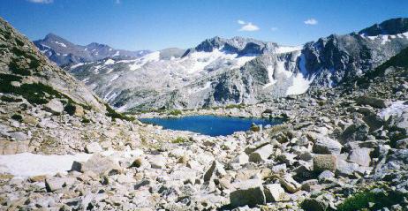
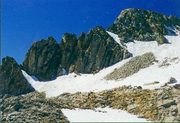
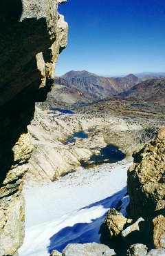
Alpine Lake (11033'), in which we spotted fish swimming in it. From the lake we ascended to the top of east ridge,
where there was an expansive view of Conness Glacier far below its north face. Following the ridge upward we climbed
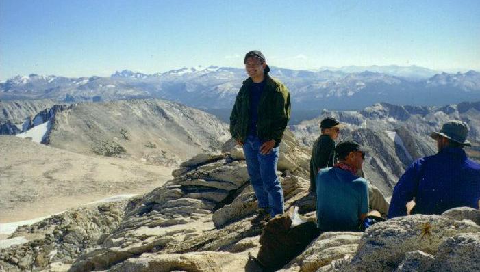
the 50 degree steep slope leading to the summit plateau, which had a series of easy ledges. Once on the broad,
nearly flat summit plateau it was easy walking until the scary knife-edge ridge leading to the summit. We made
the cumulative 2800' vertical gain in about 5 hours 40 minutes. There were quite a few climbers reaching the summit
that day, and the summit register was very full as expected.
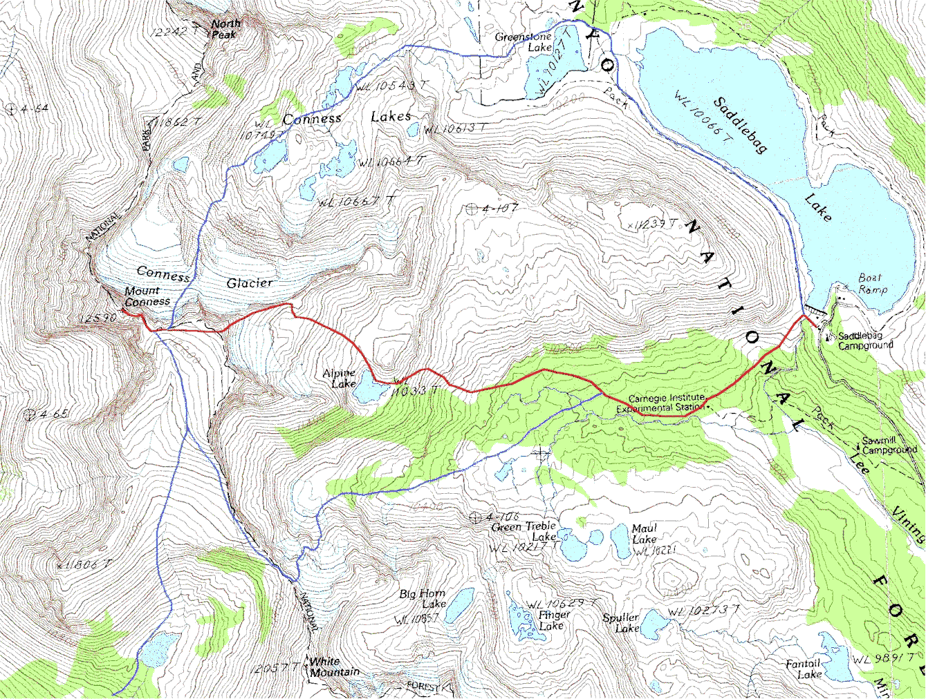
Our route is marked by a red line on my topographic map of Mount Conness. Here is the trip report on climber.org
written by a fellow climber who did Conness on the same day. The two climbers who offered him advice on descending
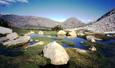
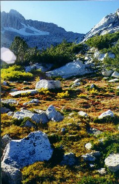
the East Ridge route were us! A few pictures from Mt. Conness (some from earlier trips to the area):
